A Tutorial on GeoAI: Designing Footprint Extraction from NAIP Imagery Using U-Net, Grounding DINO, SAM, and…
What changed
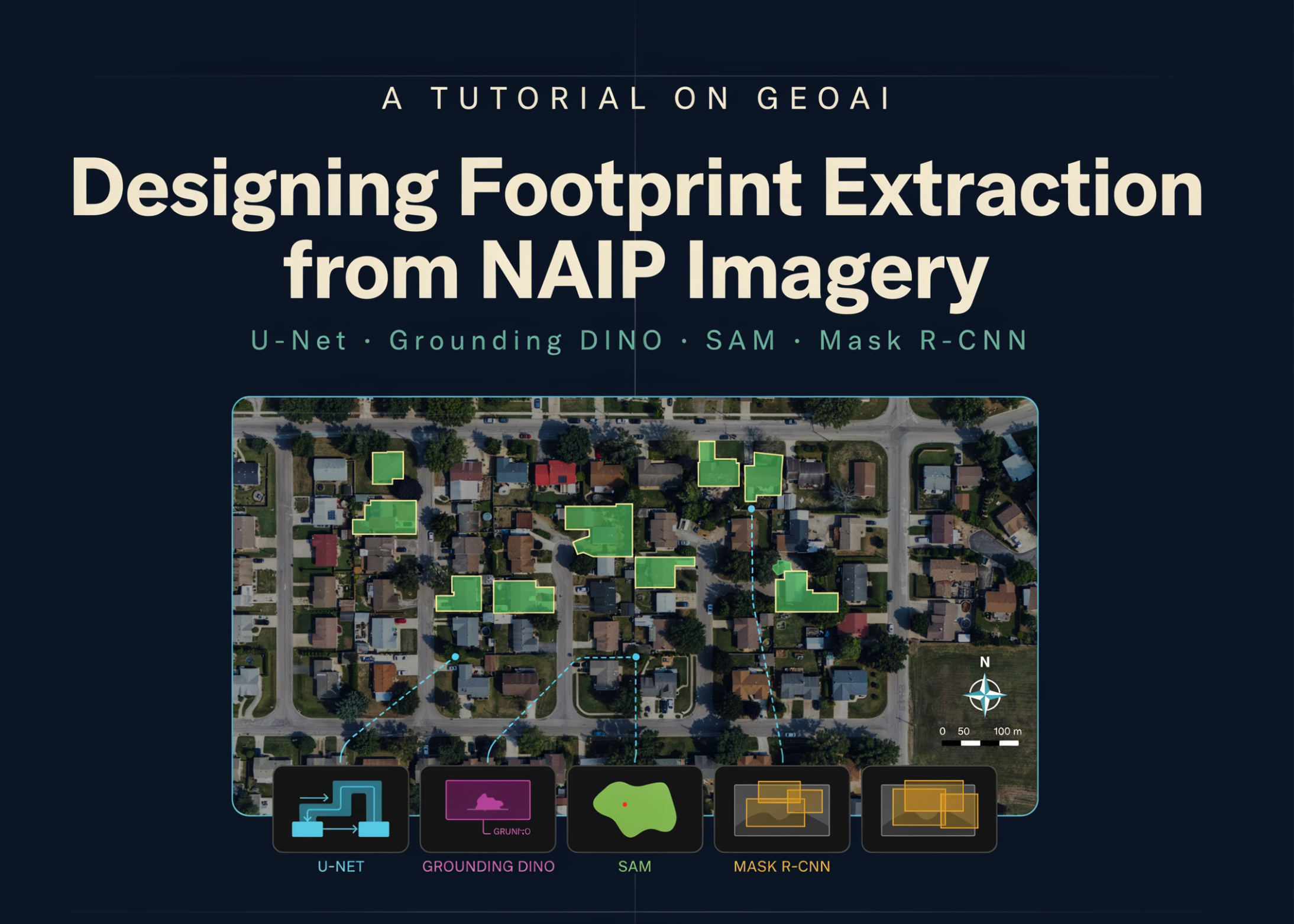
A comprehensive GeoAI tutorial details an end-to-end workflow for extracting building footprints from high-resolution NAIP aerial imagery. It layers multiple deep learning models—U-Net with ResNet-34 backbone for segmentation, Grounding DINO for object detection, SAM for segmentation masks, and Mask R-CNN for instance segmentation. The process covers setting up the geospatial environment, downloading and verifying raster and vector data, and generating georeferenced image chips and masks ready for model training.
Why builders should care
The tutorial bridges several state-of-the-art algorithms into a unified pipeline tailored for geospatial data. It addresses a key operational challenge: converting raw aerial imagery into precise, georeferenced building footprints. This is essential for urban planning, disaster response, and property analytics. The use of multiple AI models in sequence reflects a realistic approach for practitioners dealing with complex, noisy spatial data who cannot rely on a single model.
The practical takeaway
GeoAI operators now have a stepwise recipe to replicate or adapt. Training a U-Net model with georeferenced chips lays the groundwork, but integrating Grounding DINO and SAM can improve object awareness and mask quality. Mask R-CNN’s instance segmentation helps separate overlapping structures. The tutorial’s emphasis on spatial referencing throughout avoids errors from poor geo-alignment—a common operator headache. This means fewer manual corrections, faster deployment, and higher confidence in automated footprint extraction.
What to watch next
The real test will be how well this multi-model approach scales to diverse geographies and imaging conditions beyond NAIP data. Watch for workflows that integrate these tools with real-time or large-scale GIS systems, improving throughput and reducing latency in urban analytics. Also, expect further automation in stitching segmented outputs back into geospatial databases, enabling seamless updates and querying for dynamic mapping projects.
AI Quick Briefs Editorial Desk